Topographic Surveys
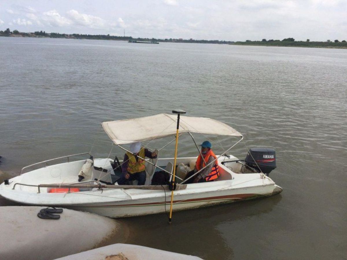
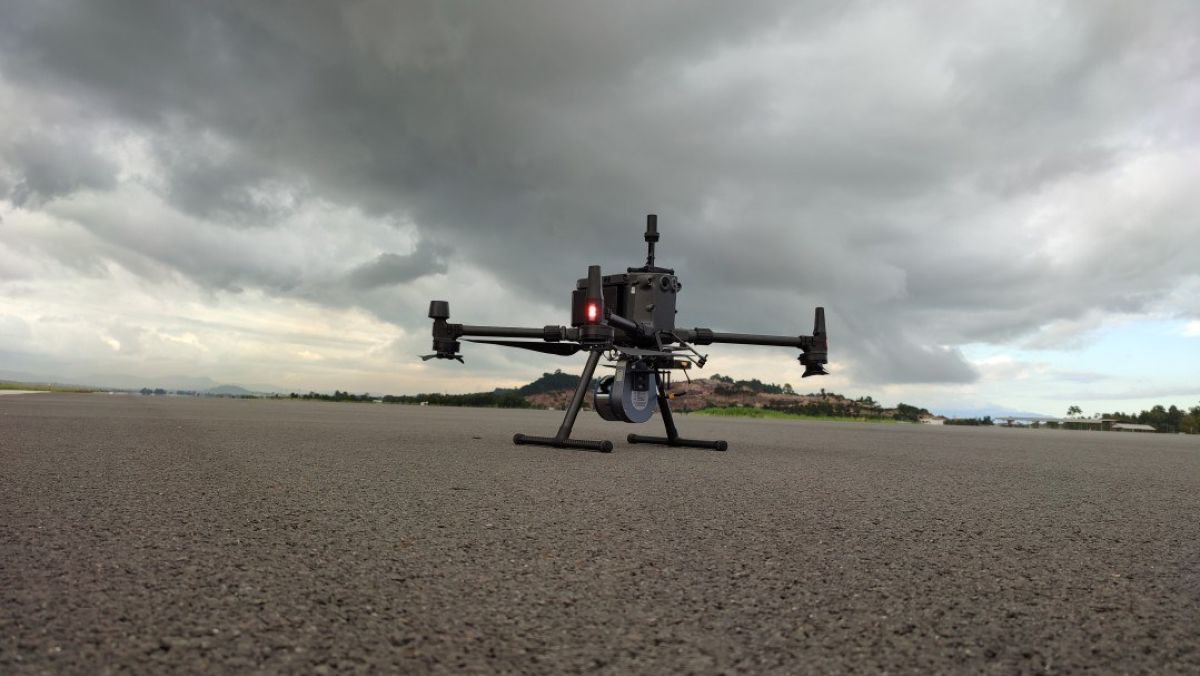
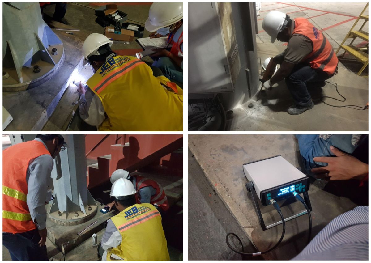
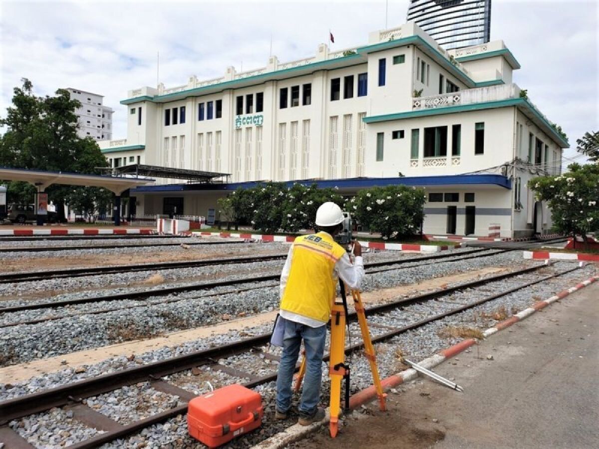
Topographic surveys are at the heart of all our activities. These surveys locate all surface features of a property to create a 3D map depicting all natural and man-made features. Our clients use topographic surveys for a wide variety of reasons. Some common uses are the reaffirmation of property boundaries, determining if a property is suitable for a construction project, and planning the design of civil works (roads, bridges, utilities, drainage, etc.).
Equipment:
- Total Station
- Digital Level
- DGPS
