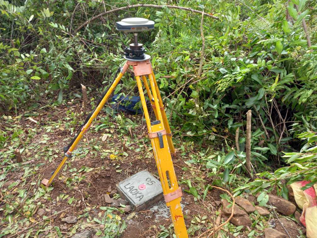
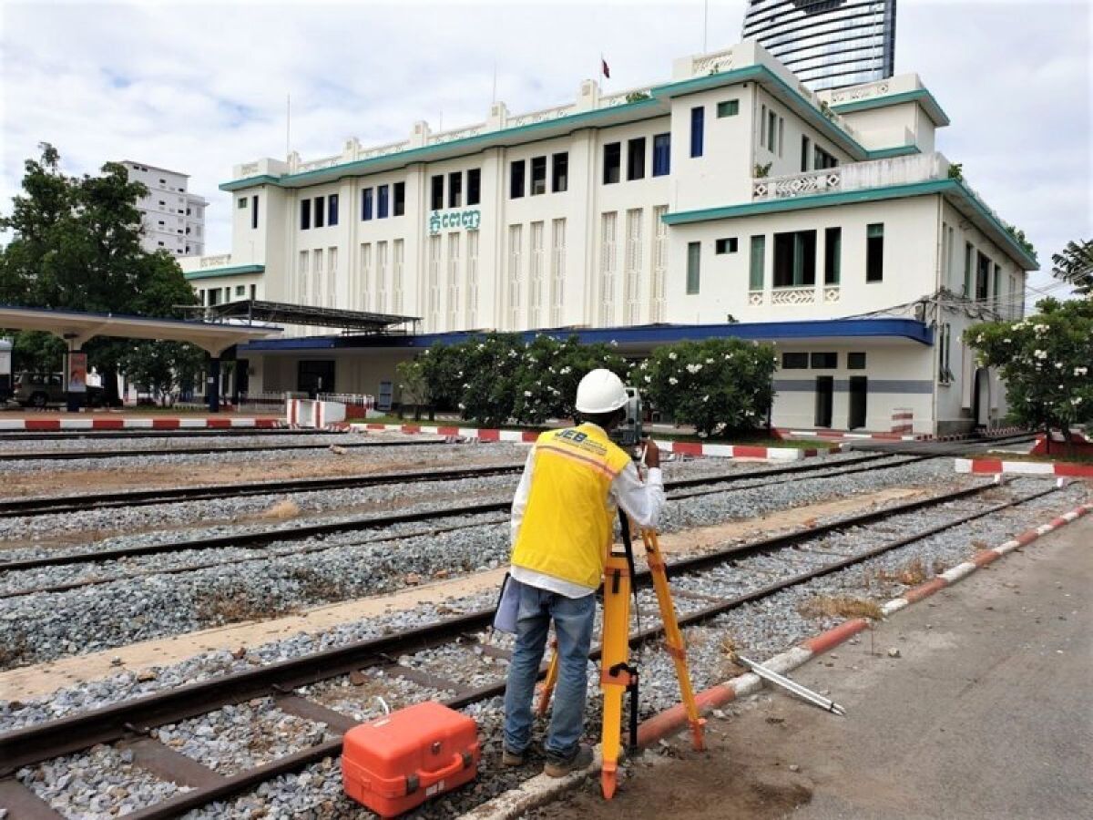
We use a variety of techniques to determine, measure, and represent land (above and below water) and structures. We use this information to interpret all the natural and artificial features before planning and designing infrastructure. It’s also used to control the geometry of works completed by contractors.
Topographic Survey
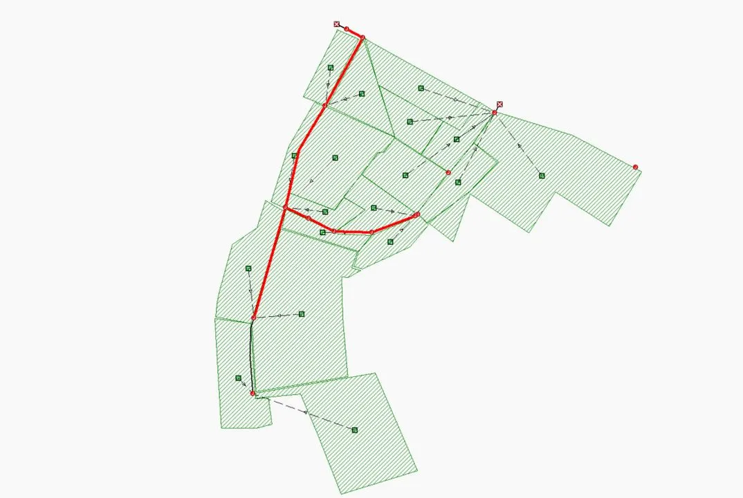
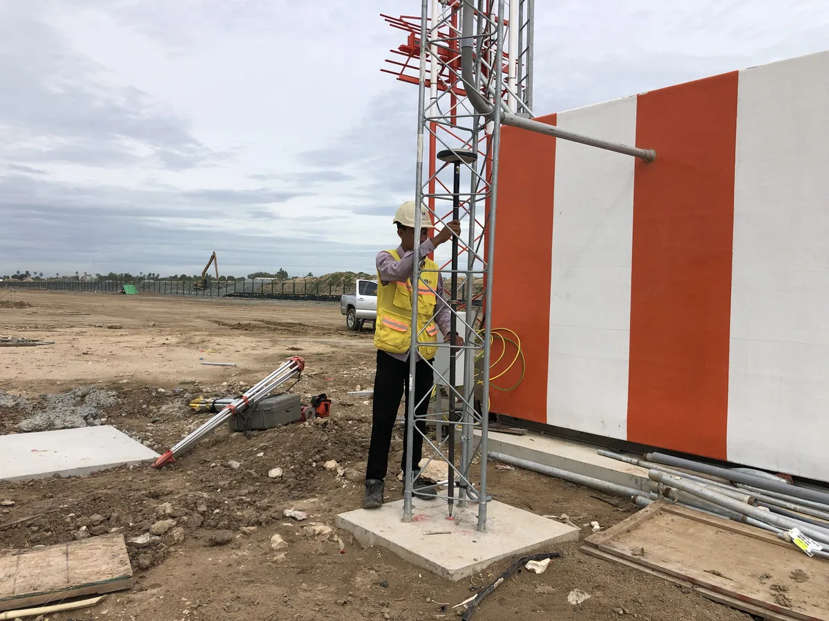
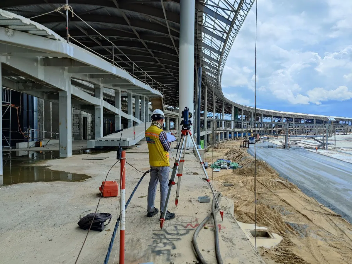
Topographic surveys are at the heart of all our activities. These surveys locate all surface features of a property to create a 3D map depicting all natural and man-made features. Our clients use topographic surveys for a wide variety of reasons. Some common uses are the reaffirmation of property boundaries, determining if a property is suitable for a construction project, and planning the design of civil works (roads, bridges, utilities, drainage, etc.).
Equipment:
- 3 x 1″Total Station (LEICA / SOKKIA)
- 3 x 2″Total Station (SOKKIA)
- 8 x DGPS Sets (SPECTRA / KOLIDA)
- 4 x Digital Levels
We also are aerial survey leaders in Cambodia and often use drone surveys to complement our land and water survey methods.
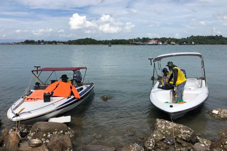
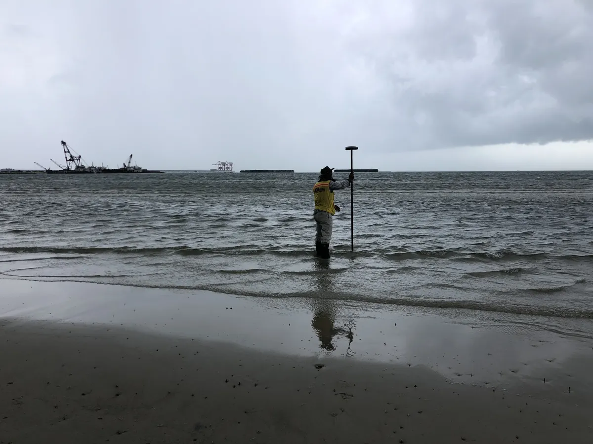
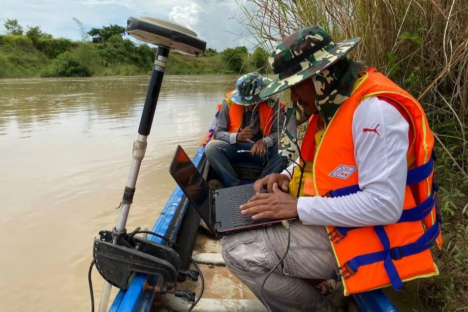
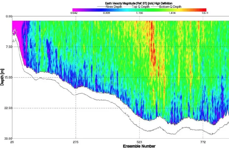
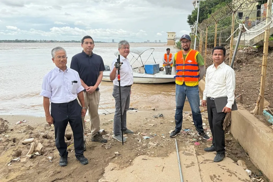
Hydrographic Surveys
We produce high-resolution mapping of underwater environments, including bathymetry, current profiles (Acoustic Doppler Current Profiler), and coastline characteristics. JEB is capable of providing three survey teams and vessels for working simultaneously. We employ 200 kHz single-beam echo-sounders, 400 kHz multi-beam echo-sounders, two types of ADCP, and side-scanning sonar imaging.
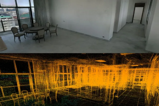
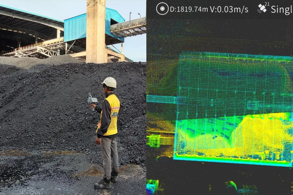
SLAM Scanning
We generate highly accurate models and immersive virtual walkthroughs using Simultaneous Localization And Mapping (SLAM) technology. SLAM produces dense, accurate, colorized point clouds and is particularly useful for ground-based three dimensional scanning. We use SLAM for mapping underground and indoor areas (mines, indoor stockpiles, caves), facility management (trenches, tunnels, digital twins), and construction (as-built, progress tracking).
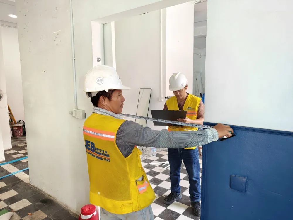
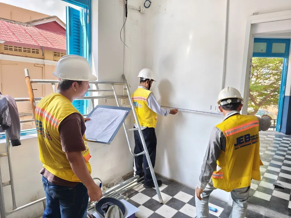
As-Built Surveys
Our teams conduct post-construction surveys that document the exact dimensions, positions, and elevations of existing structures and infrastructure. As-built surveys often take place when:
- Documentation is missing
- Structural issues have occurred
- Planning for renovations and retrofitting
MEP Testing and Commissioning
We perform MEP testing and commissioning services to identify, troubleshoot, and resolve any potential issues:
- Earth Resistivity for grounding and earthing design
- Insulation Testing
- Hipot Testing in brackets up to 5kva
- Power Quality Monitoring
- Thermal Imaging
- pHORP Measurement
- Liquid Flow and Pressure Measurement
- Micro Ohm Measurements
Survey and Assessment Projects
From offshore to onshore surveys, our teams acquire reliable and accurate data enabling analysis and design.