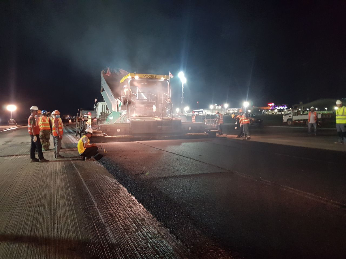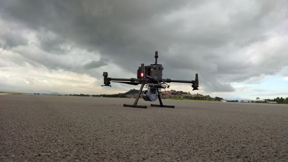
Aerial Surveys
Drone surveying is the process of surveying an area with an unmanned aerial vehicle and downward-facing sensors to obtain geospatial data. We offer two remote sensing methods, photogrammetry and lidar. Surveys with drones are an excellent asset in the fields of engineering and construction. These devices are capable of rapidly producing highly accurate point clouds, orthophotography, and digital models of land areas.
Our data collection services aid in land development, construction projects, archaeology, forest and agriculture management, and so much more. Learn more about our remote sensing services.