LiDAR Surveys
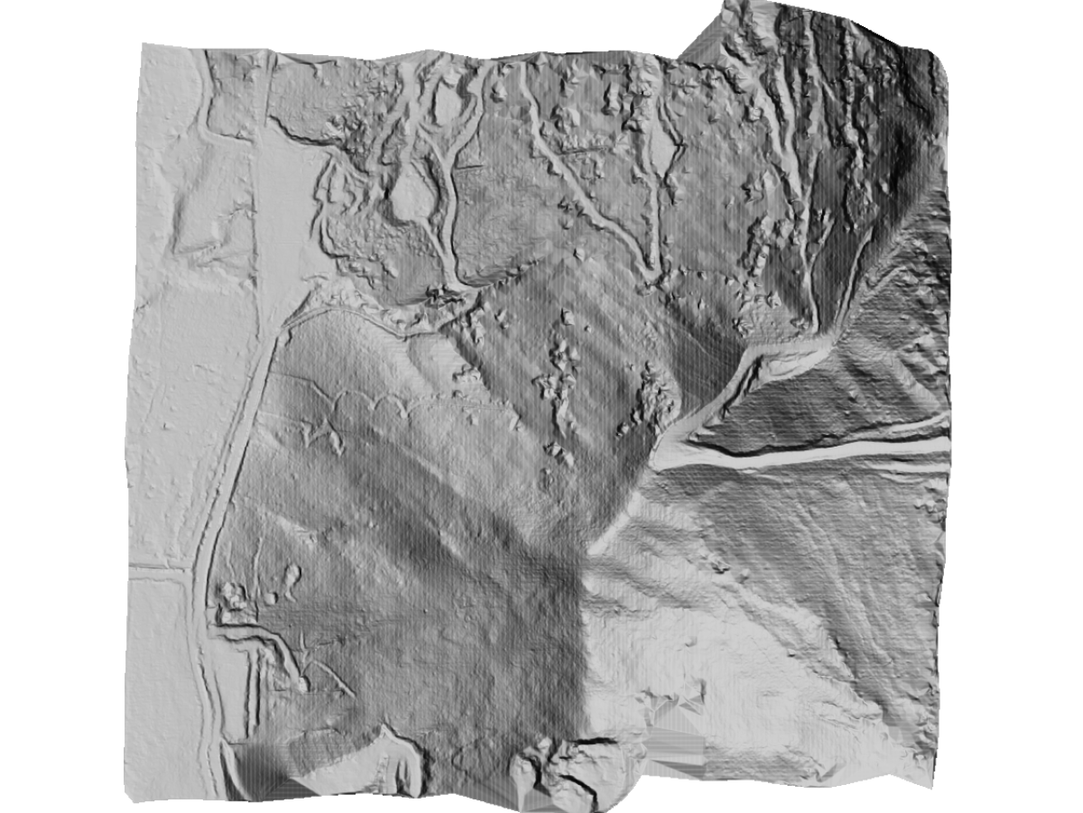
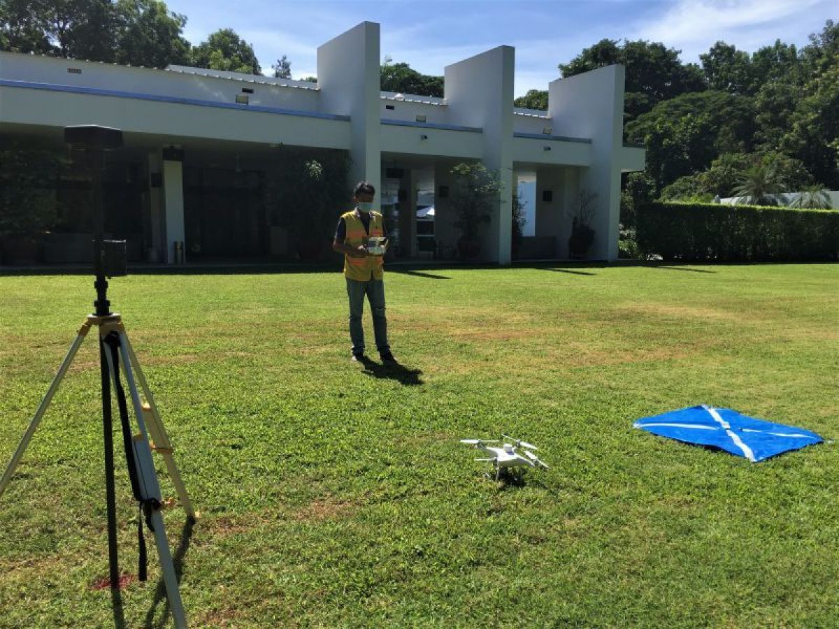
Light detection and ranging (LiDAR) devices measure features by pulsing light beams and calculating the reflection properties of each individual beam. This data produces a high-density point cloud. The LiDAR data generates a point cloud which is combined with differential global positioning system (DGPS) data to obtain highly accurate X, Y, and Z coordinates for each point. Our drone-mounted LiDAR excels in high-accuracy surveying and is capable of penetrating heavy vegetation.

