Expertise

Remote Sensing

We use drones equipped with survey-grade sensors to acquire information about features and objects without making physical contact. Using LiDAR and cameras we collect and process geospatial data concerning land, structures, vegetation, and more. The data is analyzed and applied to our surveys, studies, mapping, and designs.

LiDAR Surveys

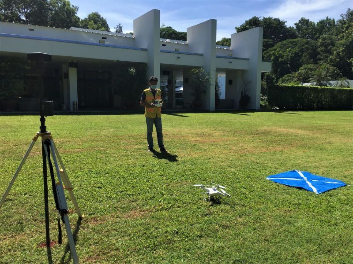
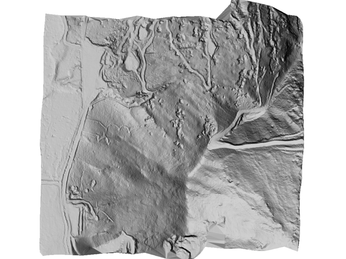
Light detection and ranging (LiDAR) devices measure features by pulsing light beams and calculating the reflection properties of each individual beam. This data produces a high-density point cloud. The LiDAR data generates a point cloud which is combined with differential global positioning system (DGPS) data to obtain highly accurate X, Y, and Z coordinates for each point. Our drone-mounted LiDAR excels in high-accuracy surveying and is capable of penetrating heavy vegetation.

Photogrammetric Surveys

The latest UAV technologies offer practical and cost-efficient ways to produce photogrammetry. UAVs are also used to shoot photography and video enabling a better understanding of a site location.

Once processed, the aerial imagery produces georeferenced orthomosaics with accurate geometry, dimensions, and object positioning (with accuracy up to 2cm). Aerial surveys are used to control and monitor site construction, perform volumetric calculations, support topographic surveys, and generate 3D models.

Equipment:

  • DJI Mavic Pro 2
  • DJI Phantom 4
  • DGPS
  • Trimble Software

Deliverables:

  • DEM: Digital Elevation Models
  • DTM: Digital Terrain Models
  • DSM: Digital Surface Models
  • Orthomosaics
  • 3D Modeling