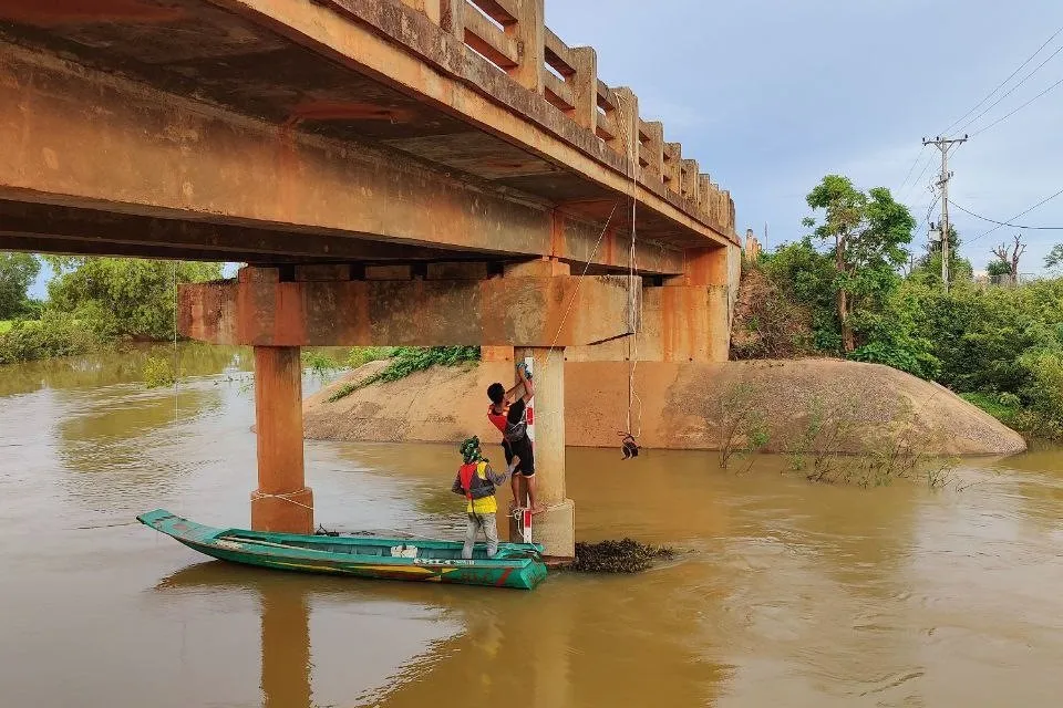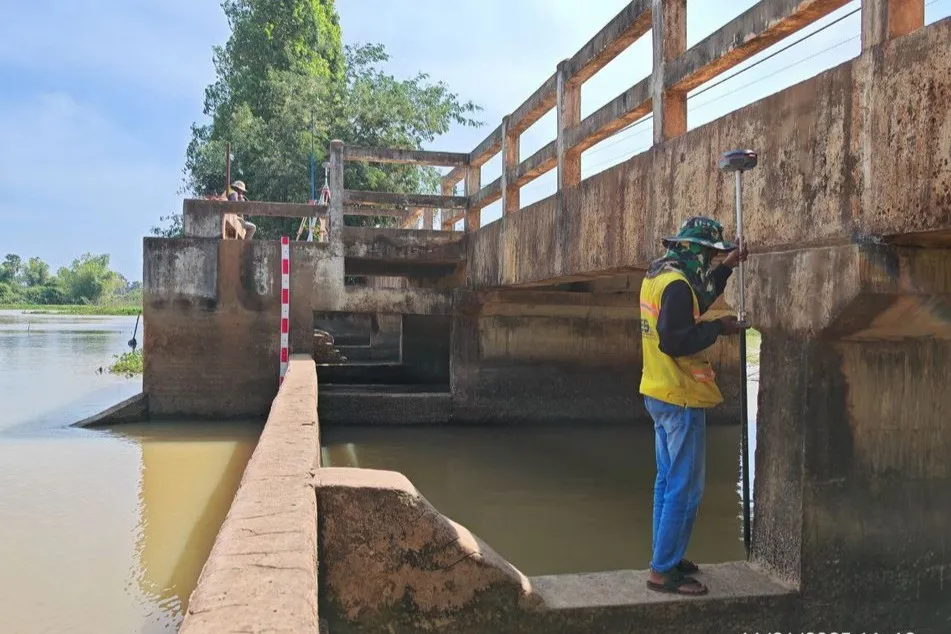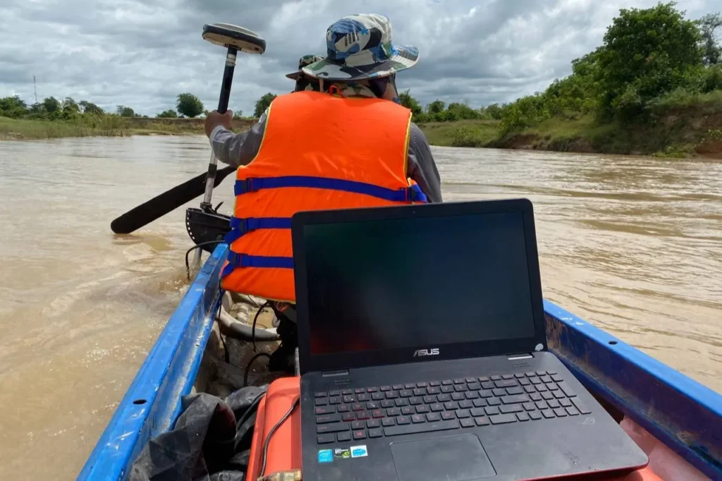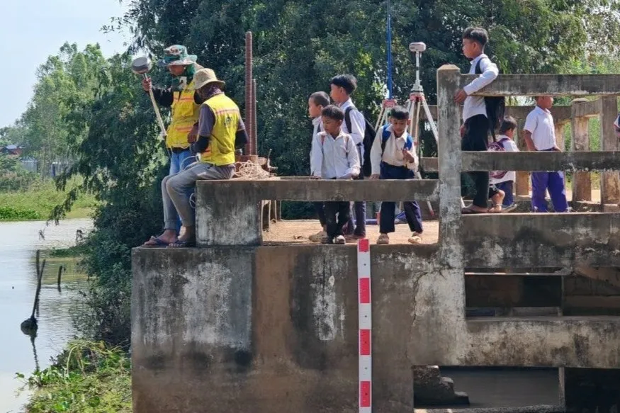
Working under the Japan International Cooperation Agency (JICA), we conducted a large-scale topographic and hydrological survey covering hundreds of kilometers of rivers and irrigation canals, along with associated structures such as bridges and water gates, across two provinces.
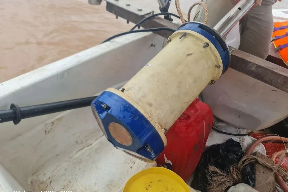
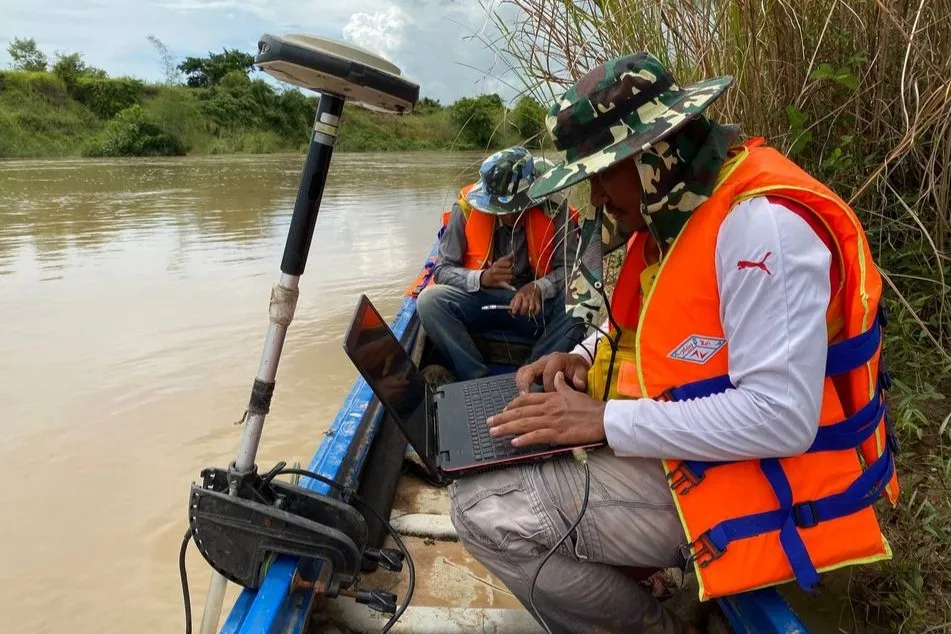
We combined multiple survey methods and instruments to capture both accurate geometry, reliablewater flows, and hydrological information. We employed specialized equipment including LiDAR, GNSS, total stations, echo-sounders, ADCP, and additional field tools as needed.