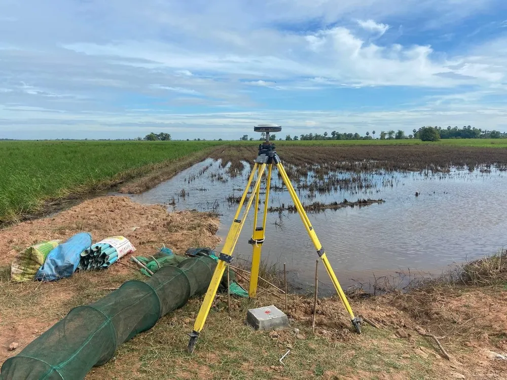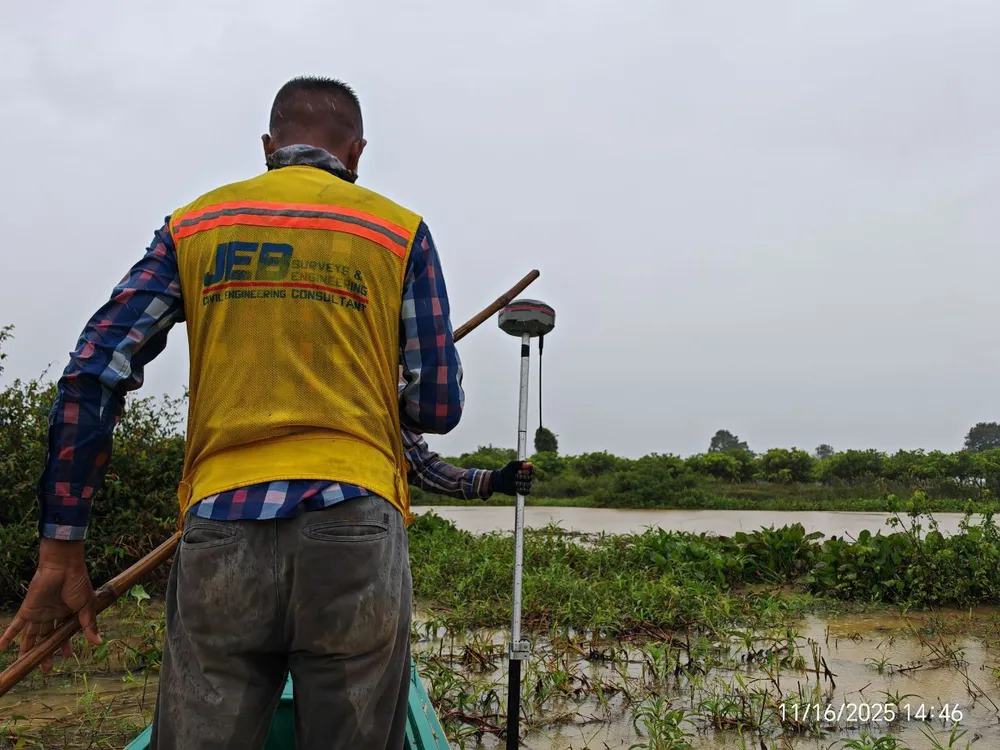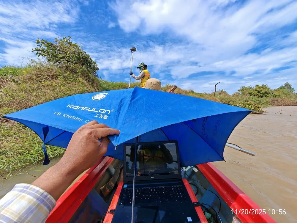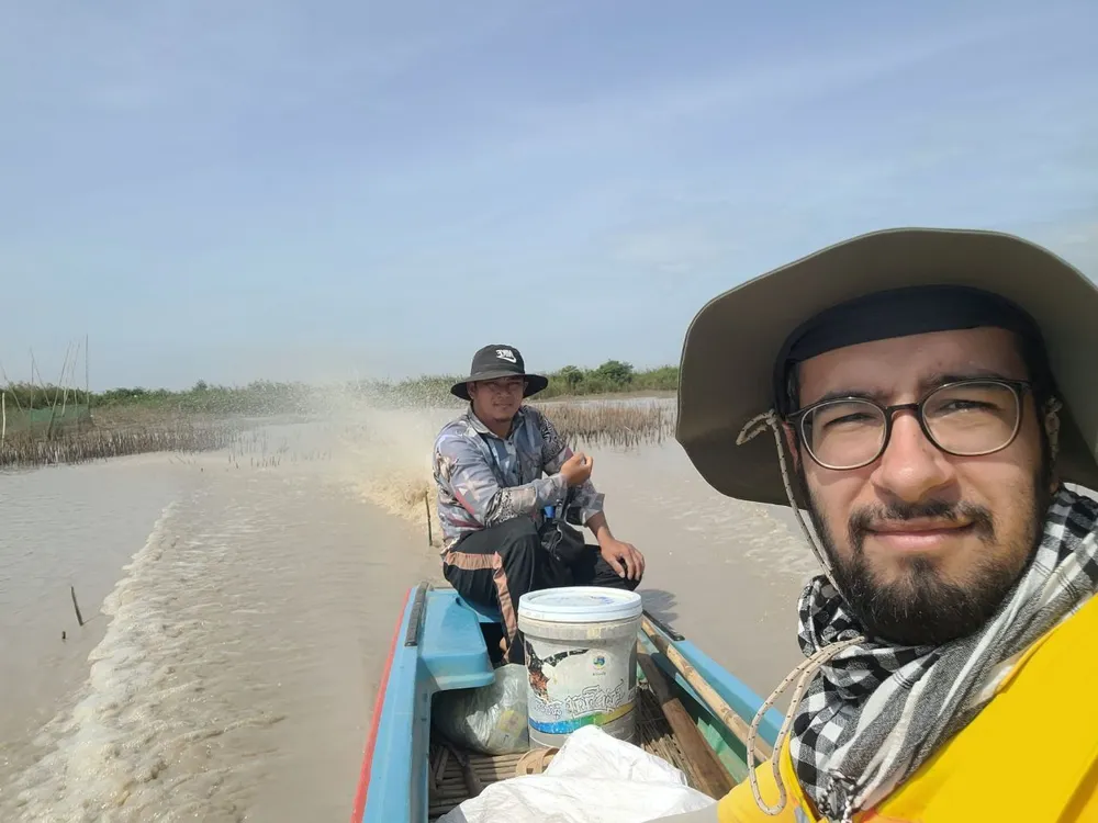
Working with an international client, our team recently completed an extensive hydrology-focused survey covering hundreds of kilometers of rivers and canals, along with associated structures such as bridges and water gates, across two provinces.
We combined multiple survey methods and instruments to capture both accurate geometry, reliable water flows, and bathymetric information. We employed specialized equipment including GNSS, total stations, echo-sounders, and ADCP and additional field tools as required.
We had a strong coordination in the field, and delivered a dataset ready for engineering use !
If you’d like to discuss a similar project or have questions about our methodology, feel free to reach out in the comments or send us a direct message.