-
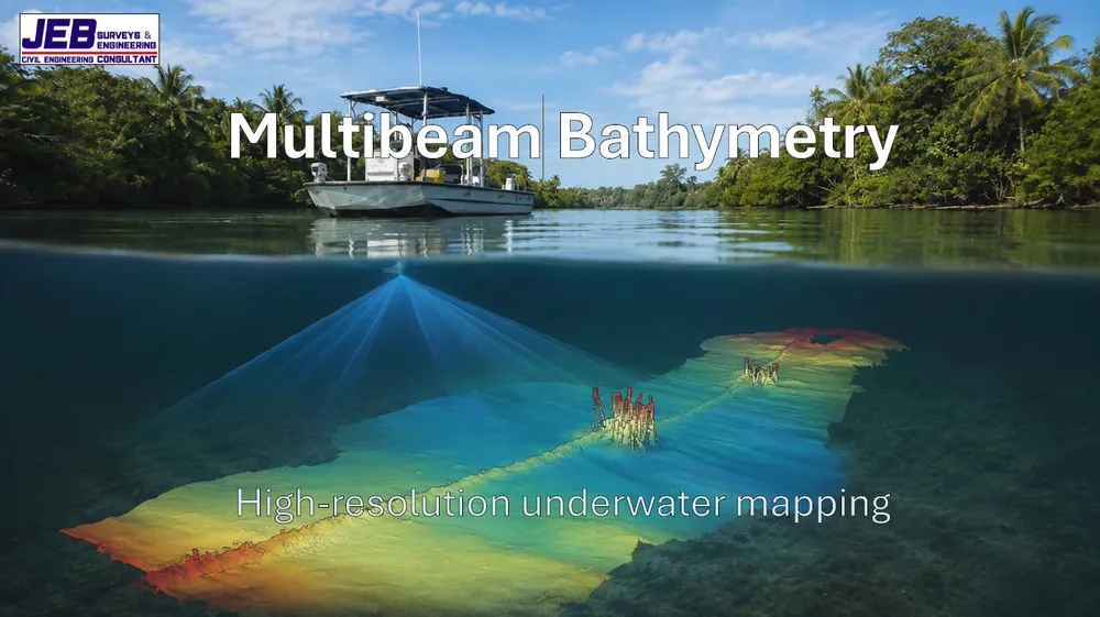
Introducing Our Multibeam Echo-Sounder
Read more: Introducing Our Multibeam Echo-Sounder -
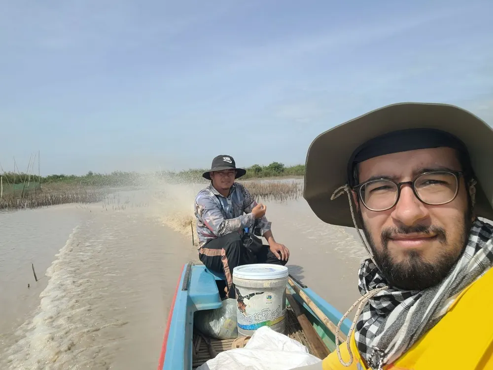
Large Scale Irrigation Survey
Read more: Large Scale Irrigation SurveyWorking with an international client, our team recently completed an extensive hydrology-focused survey covering hundreds of kilometers of rivers and canals, along with…
-
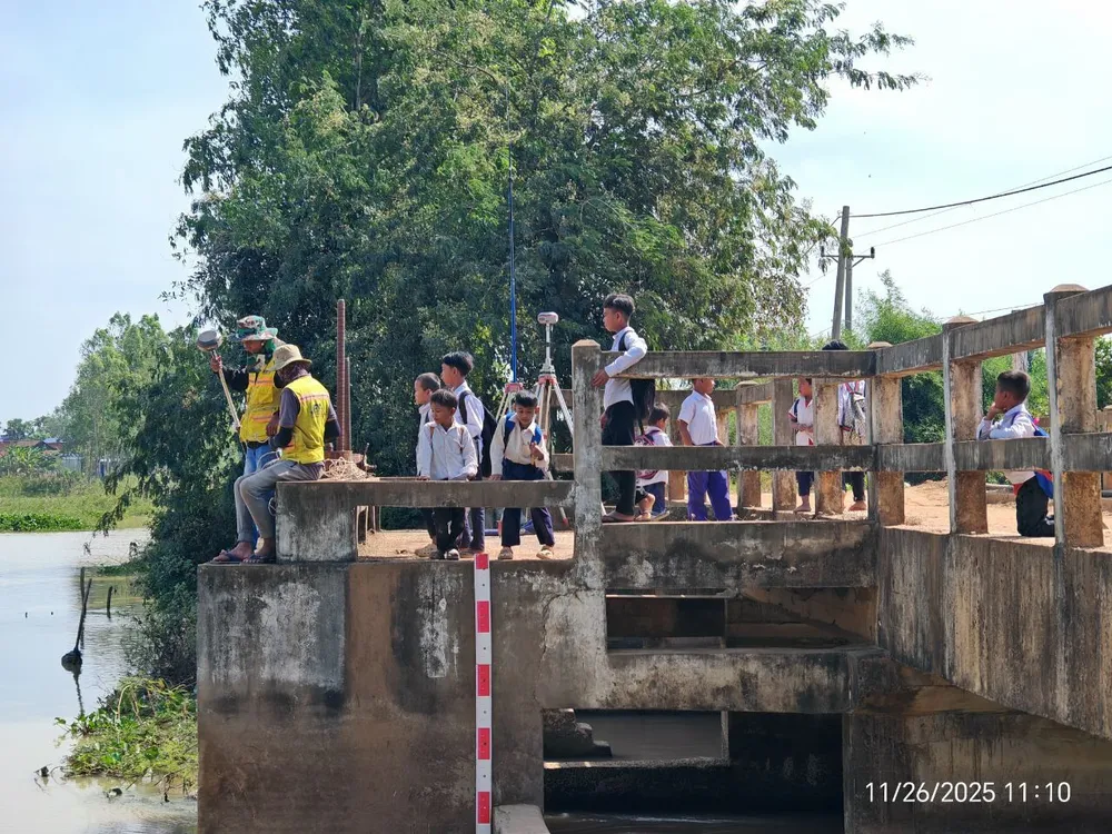
Site Surveys in Cambodia
Read more: Site Surveys in CambodiaThe team had to survey under pressure with so many “site supervisors👷” watching our every move! It was a great opportunity for these…
-
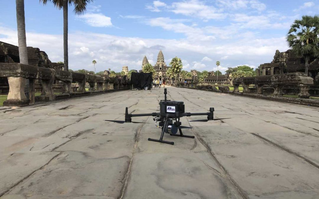
Drone Land Surveying and Mapping
Read more: Drone Land Surveying and MappingDrone land surveying, just like traditional land surveying, is the practice of measuring 3D points on land areas for evaluation. The difference is…