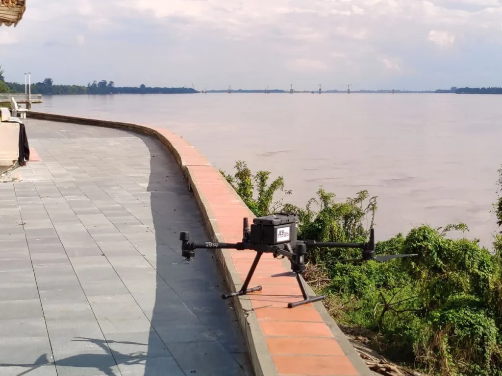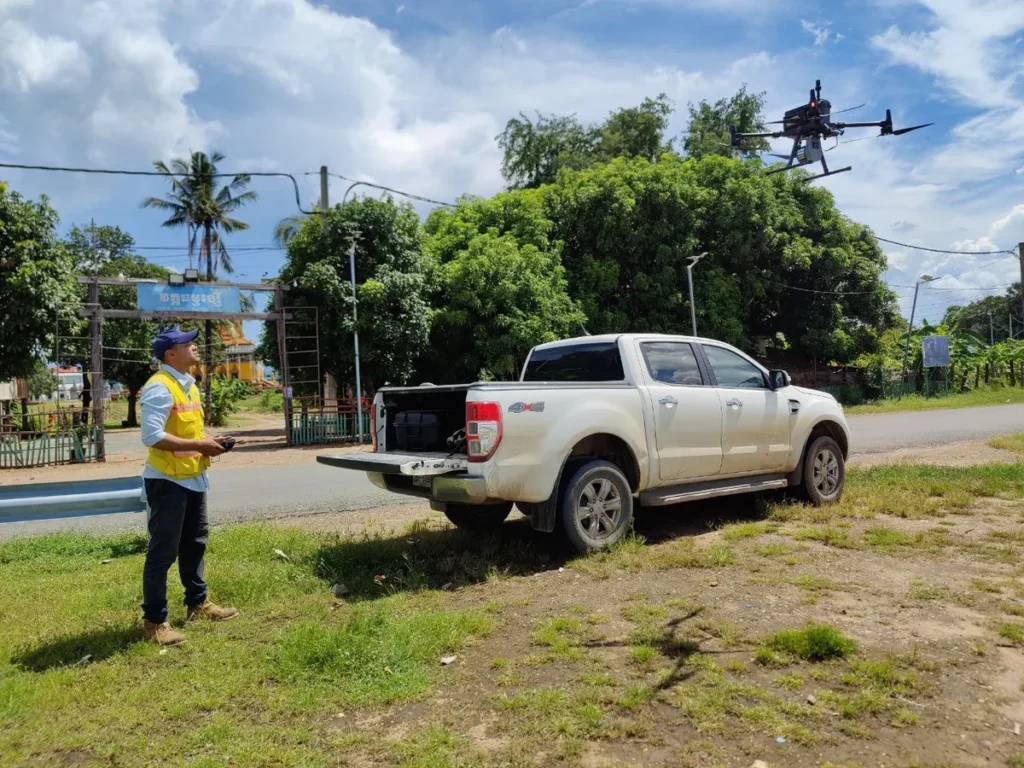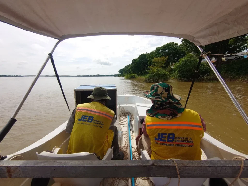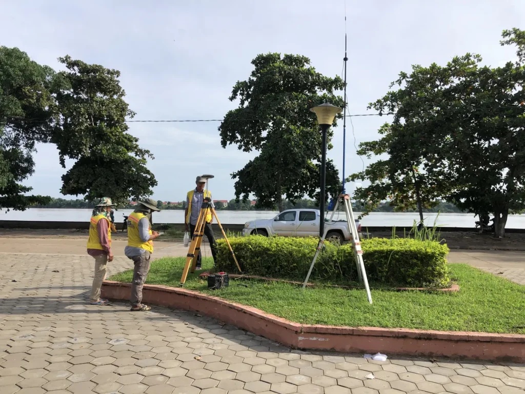
JEB carried out surveys of the Mekong and direct branches of the Mekong river for the Asia Water Council (AWC) and the Korea-Mekong Water Resources Management Research Center (KMCRC) as part of the Integrated Water Resources Management and Enhancement of Climate Adaptability Project in Vulnerable Urban Areas of Mekong Basin project.
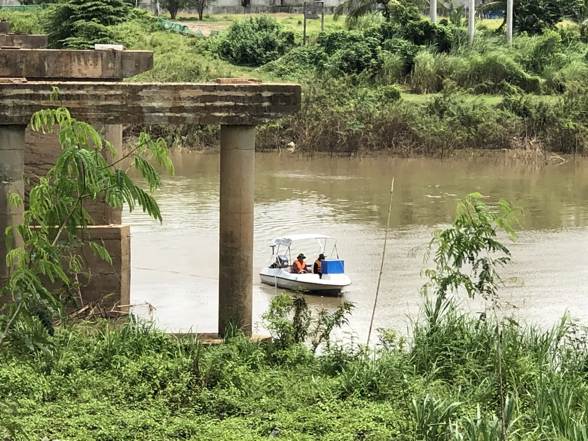
The studies took place in Kratie province and in Steung Treng Province. We used LiDAR to map the river embankments and bathymetry to capture the riverbed.
All data was merged to produce reliable and comprehensive maps of the Mekong riverbed and embankments.