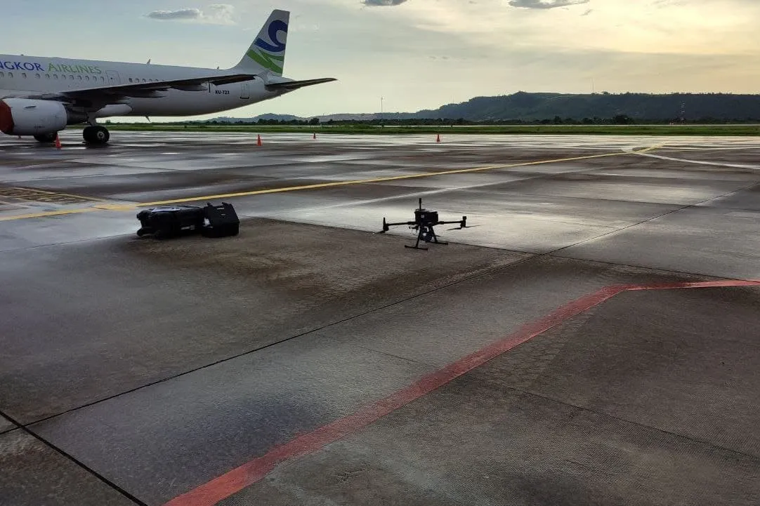
JEB conducted LiDAR and Photogrammetric survey flights, bathymetric surveys, and piezometer water level monitoring at the Sihanouk International Airport and thesurrounding area (~1,600 ha) to study the airport’s flood protection and drainage capabilities. The resulting data was used to map the current drainage capabilities and design improved capacity systems.
Flood Protection Masterplan for Sihanouk International Airport