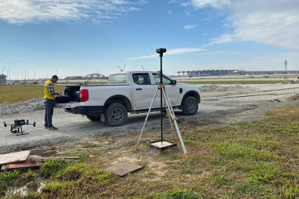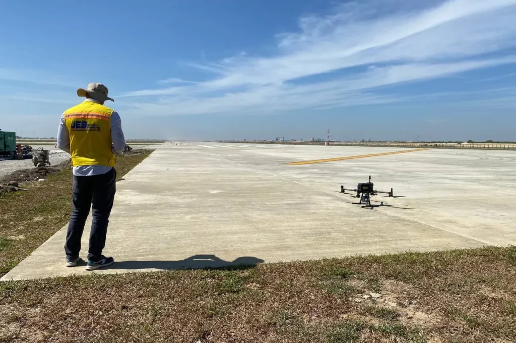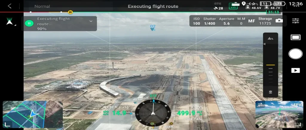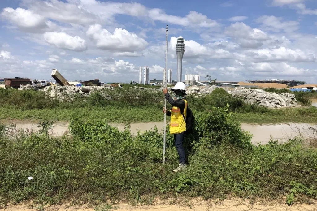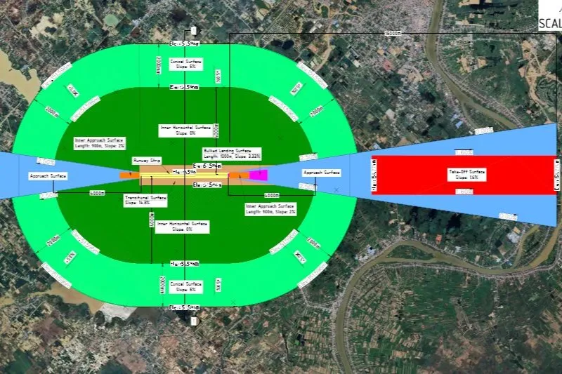
JEB has carried two airspace survey of the new airport and surrounding area enabling the State Secretariat of Civil Aviation (SSCA) to design the aerodrome airspace in preparation of flight launches. The scope consisted of designing the obstacle and terrain limitation surfaces using national and international guidelines, conducting large-scale aerial surveys (LiDAR and Photogrammetry), acquiring large terrain raster data, transforming data to ensure CRS consistency, and the final analysis of all combined data to map the obstacles in the airspace.