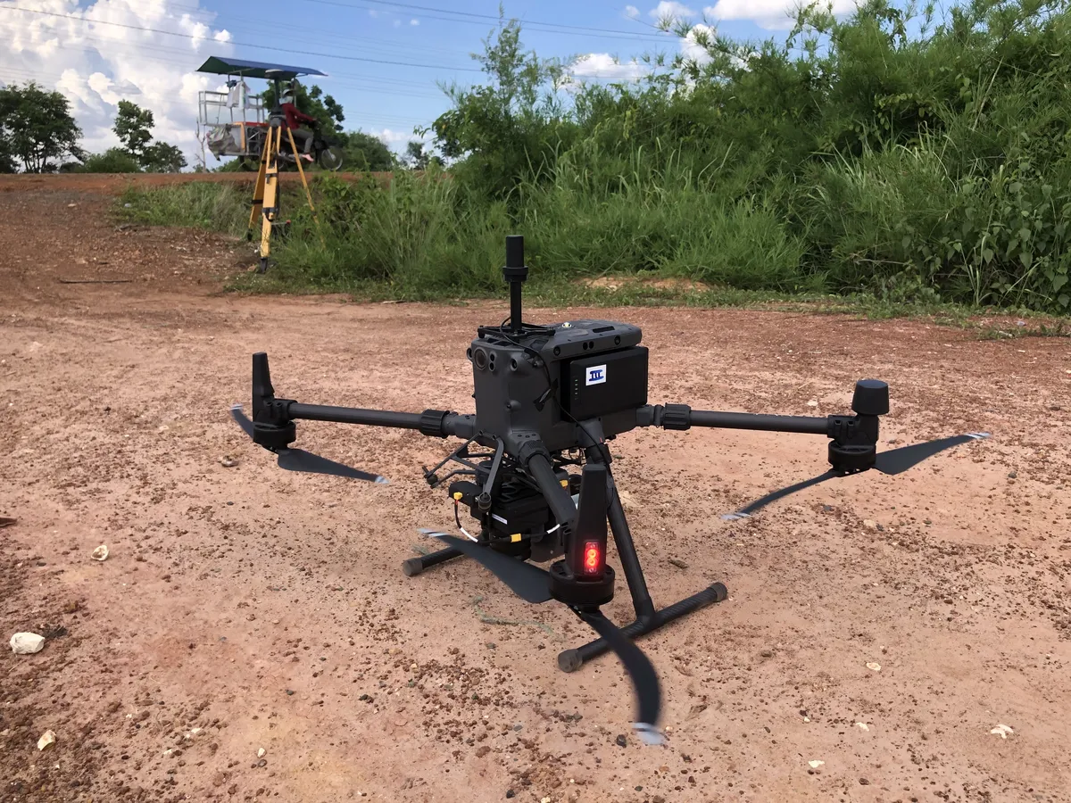
A private company approached Jeb to determine the amount of land to be flooded due to the construction of a nearby dam. An aerial lidar survey was performed as the land area was quite large. The survey required seven days to complete. The final result was the production of several detailed maps depicting the quantity of land at risk of flooding and the topography of the site.
2030 Hectare Airborne LiDAR and Photogrammetric Survey