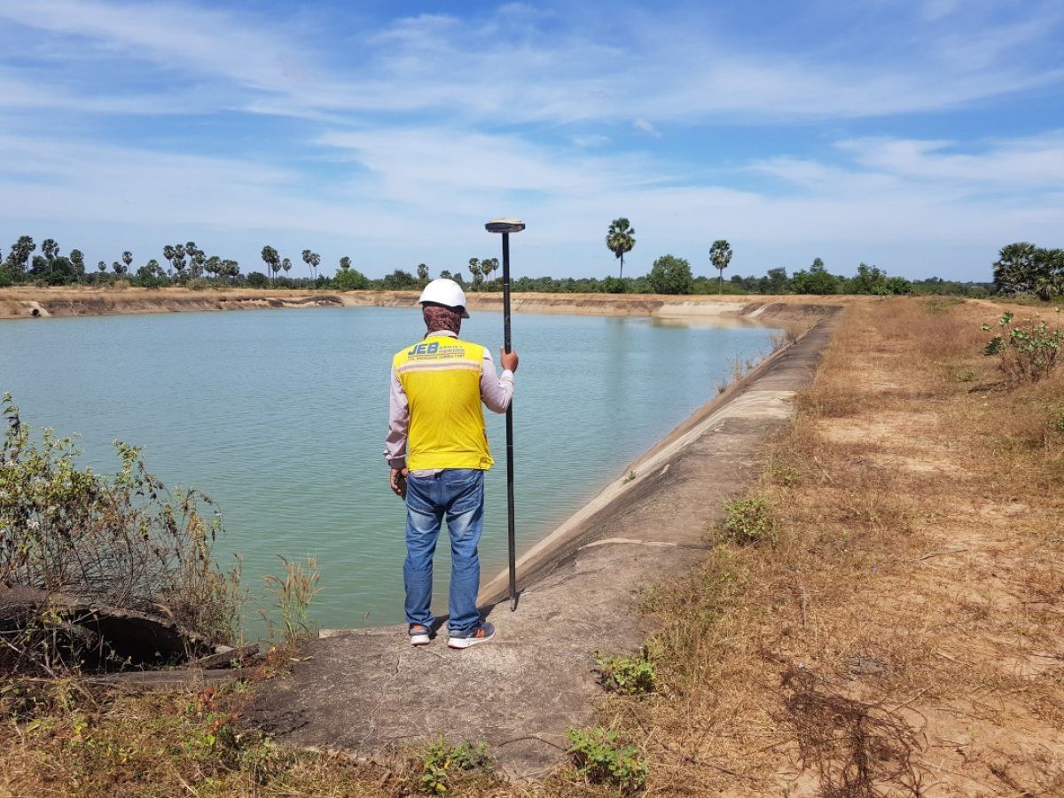
JEB performed a large topographic survey with a combination of traditional topographic surveying methods and drone photogrammetry. The work included the survey of the property boundary, a detailed survey of all areas within the boundary including several buildings, manmade reservoirs, and multiple natural features, and an aerial survey of the area to produce orthophotography of the site.
94 Hectare Topographic and Aerial Survey
Services:
Services: