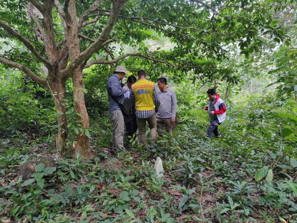
This survey project took place in Kep National Park and was conducted in collaboration with the Ministry of Environment to determine the locations of trees based on specific criteria. Two remote sensing methods were employed for the survey of the densely vegetated hill, LiDAR and Photogrammetry.
Following the survey and data processing phases, we analyzed the spatial data to select trees based on the criteria and extracted other information such as tree canopy size and tree heights. The resulting topographic maps contained plan views, section views, contour lines, and tree and canopy color maps.